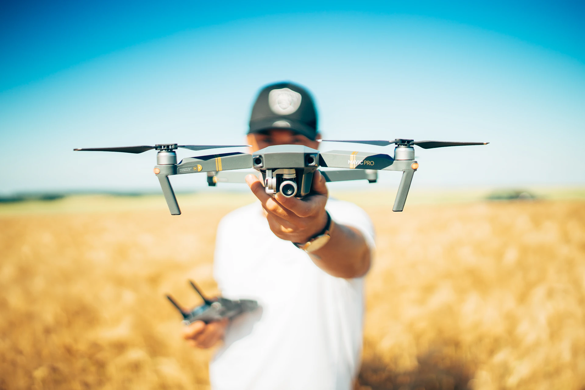
Real Estate Aerial Photography in Philadelphia
Why Use Drone Pictures for Real Estate?
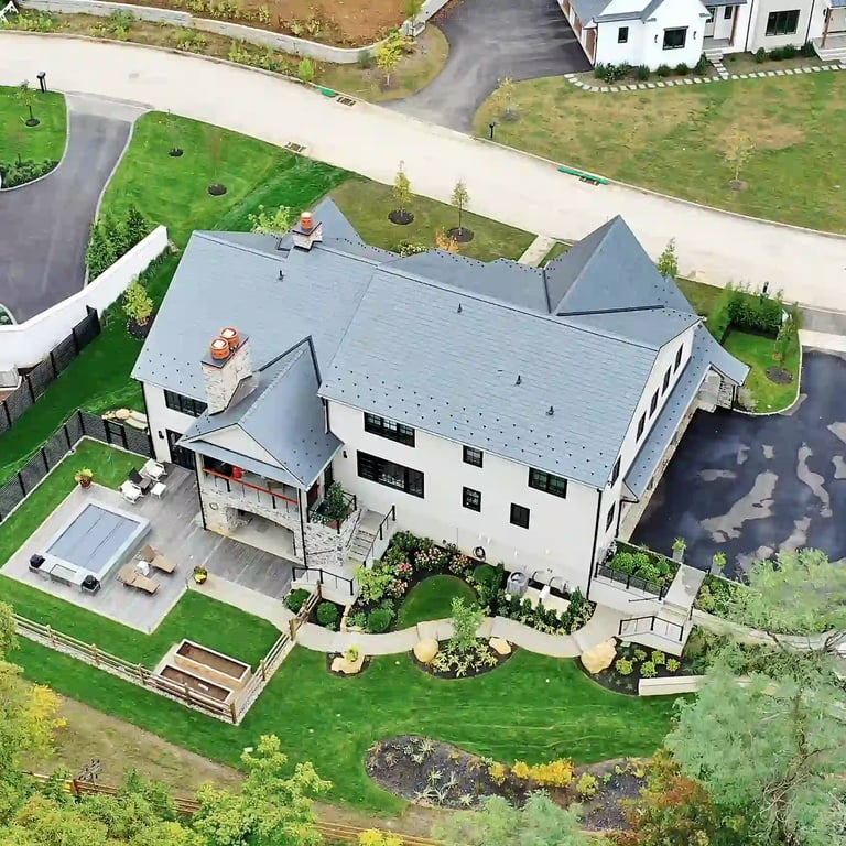
Show Property and Surroundings


✔ A home's value includes its surroundings, not just interior features
✔ Nearby parks, cafes, schools, and local services add strong appeal
✔ Aerial photography shows the full neighborhood context to buyers


Highlight Local Features
✔ Shows nearby parks, streets, and landmarks
✔ Captures lifestyle and neighborhood appeal
✔ Gives buyers a full view beyond the home
✔ Aerial photography adds a polished, professional look
✔ Helps buyers evaluate the property with confidence
✔ Builds trust and supports better decision-making
Improve Listing Quality
Drone Real Estate Photography Pricing


What Affects the Price?
✔ Costs depend on several factors, including travel requirements, the time needed on-site, the level of post-production editing, and the experience of the drone operator. Specialized services like video tours or mapping can also increase the overall price.
Choosing the Right Package
✔ We offer a fixed price to keep everything transparent and easy for our clients. Our drone real estate photography package includes 10–15 professionally captured aerial images. This ensures you know exactly what to expect, with consistent, high-quality results that add real value to your marketing.
How Much Does Drone Real Estate Photography Cost?
✔ Pricing can vary depending on factors like property size, shoot complexity, and location. Simple residential shoots may start at lower rates, while larger or more detailed projects can cost more. Clear estimates help ensure there are no surprises for clients.
Real Estate Drone Photography Near Me?
How Can I Hire a Real Estate Drone Photographer Near Me?
✔ At Space360, we offer professional drone photography Philadelphia services with easy online appointments for your convenience. Our team covers both Philadelphia and New Jersey, providing high-quality aerial images that showcase properties from the best angles.


Do You Provide Real Estate Drone Videography in My Area?
✔ Yes. Space360 offers real estate drone videography services throughout Philadelphia and New Jersey. Our videographers deliver smooth, professional aerial videos that highlight the layout, features, and surroundings of each property, helping you market listings with confidence.
✔ Aerial photography for real estate listings offers a clear view of the property, lot, and surrounding area. At Space360, we provide professional aerial photography in Philadelphia and New Jersey to help agents showcase listings more effectively.
Why Choose Aerial Photography for Real Estate Listings?


Drone Real Estate Photography Portfolio


Frequently asked questions
Are your drone pilots FAA certified?
Yes! All Space360 drone photography is performed by FAA Part 107 certified pilots. We carry full insurance and handle all airspace authorizations required for your property location.
What's included in drone photography packages?
Our drone real estate photography package includes 10-15 professionally captured and edited aerial images showcasing the property, lot, and surrounding area. Drone video is available as an add-on.
Can you fly drones anywhere in Philadelphia?
Most areas are flyable, but some locations near airports, stadiums, or restricted airspace require special authorization. We check every address before booking and handle any necessary FAA approvals.
What weather conditions are needed for drone photography?
We need clear skies with winds under 20 mph and no rain. If weather conditions aren't suitable on your scheduled day, we'll reschedule at no extra charge.
Do you offer drone video for real estate?
Yes! We offer cinematic drone videography with smooth 4K footage perfect for luxury listings, large properties, and social media marketing. Ask about our videography packages.